 eAtlas Data Catalogue
GeoTiff, Shapefile, SLDs, GeoServer configuration
Type of resources
Topics
Keywords
Contact for the resource
Provided by
Formats
Representation types
status
-
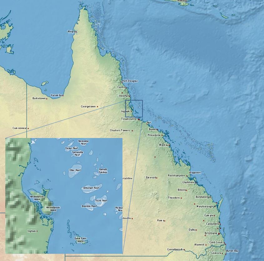
The eAtlas baselayer is a collection of datasets from third parties styled and combined together to produce a world wide map layer with reasonable detail across the Great Barrier Reef suitable as a baselayer in web mapping applications. The primary basis for this baselayer is the Natural Earth 2 public domain raster map of the world. Overlaid on this is country outlines, cities and Great Barrier Reefs. It has a focus on Australia and the Great Barrier Reef and includes a high resolution coast for Australia (100k) and an even high resolution coast for Queensland (50k). The baselayer has three levels of nested detail. It starts with the world view datasets (Natural Earth 2 & 10m countries) combined with a high resolution Australian coastline (Coast 100k) combined with a still higher resolution Queensland coastline (GBR features). In addition to this the GBR features combined with the GBR dry reefs provides detailed outlines for reefs within the Great Barrier Reef Marine Park. This nesting is achieved by using a layer group in GeoServer to sandwich all 6 layers together into one map. The styling of the 10m countries layer is done so that all countries except Australia are rendered, leaving a hole for the high resolution Australian coastline. The Coast100k it is styled so that all states are shown except Queensland; again to leave a hole for a higher resolution Queensland coastline. To get the Queensland coastline the GBR features mainland is used. Format: This dataset collection is organised as files in a structure the same as the configuration of GeoServer version 2.1 - 2.3. This allows it to be easily deployed as a web map service. The files can simply be pasted into the GeoServer directory. The data, along with the configuration and styling will be installed. This quick install procedure has been tested on version 2.1.0, 2.2.4 and 2.3 of GeoServer. More recent version may require manual editing deploy the data. The size of this dataset is 260 MB. Note: This dataset has been superseded by the higher resolution Bright Earth eAtlas Basemap (NERP TE 13.1 eAtlas, AIMS) dataset. Data Location: This dataset is filed in the eAtlas enduring data repository at: data\NERP-TE\13.1_eAtlas\World_NERP-13-1_eAtlas_Basemap_v1-2013